Nahuel Huapi is big — the lake alone stretches for dozens of kilometres from east to west, with long arms reaching deep into the mountains — so it pays to know what is where. These are the twelve places we would build a trip around, from the viewpoints on Bariloche’s doorstep to the glaciers on the Chilean border, each with its own guide covering what to do, how to get there and which tours cover it.
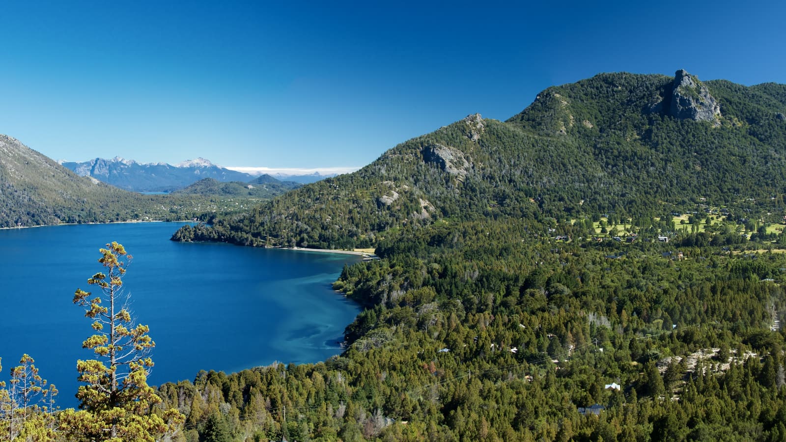
Things to See in Nahuel Huapi
Twelve places that make Nahuel Huapi one of the great national parks of South America.
Bariloche & the Circuito Chico
 Bariloche & the Circuito Chico
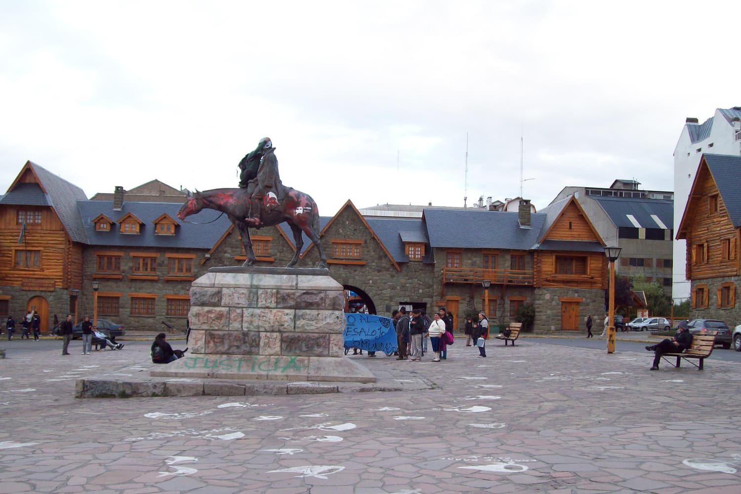
 San Carlos de Bariloche
The gateway town on the lake
The park’s base camp: a lakeside city of stone-and-timber chalets, chocolate shops and brewpubs on the south shore of Nahuel Huapi. Start at the Centro Cívico, walk Calle Mitre and the costanera, and use it as the hub for every boat trip and day tour.
 Bariloche & the Circuito Chico
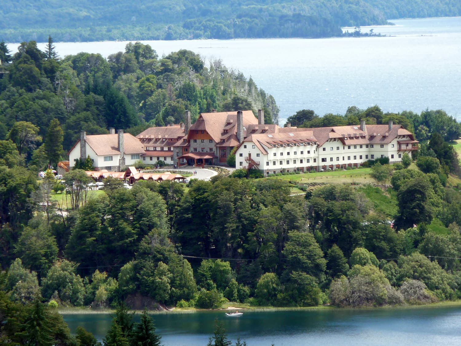
 Circuito Chico
The classic 60 km lake loop
The scenic loop west of Bariloche along Avenida Bustillo and around the Llao Llao peninsula — lakes, beaches, forest, the Punto Panorámico lookout and the grand Llao Llao Hotel. Drive it, bike it or join a half-day tour.
 Bariloche & the Circuito Chico
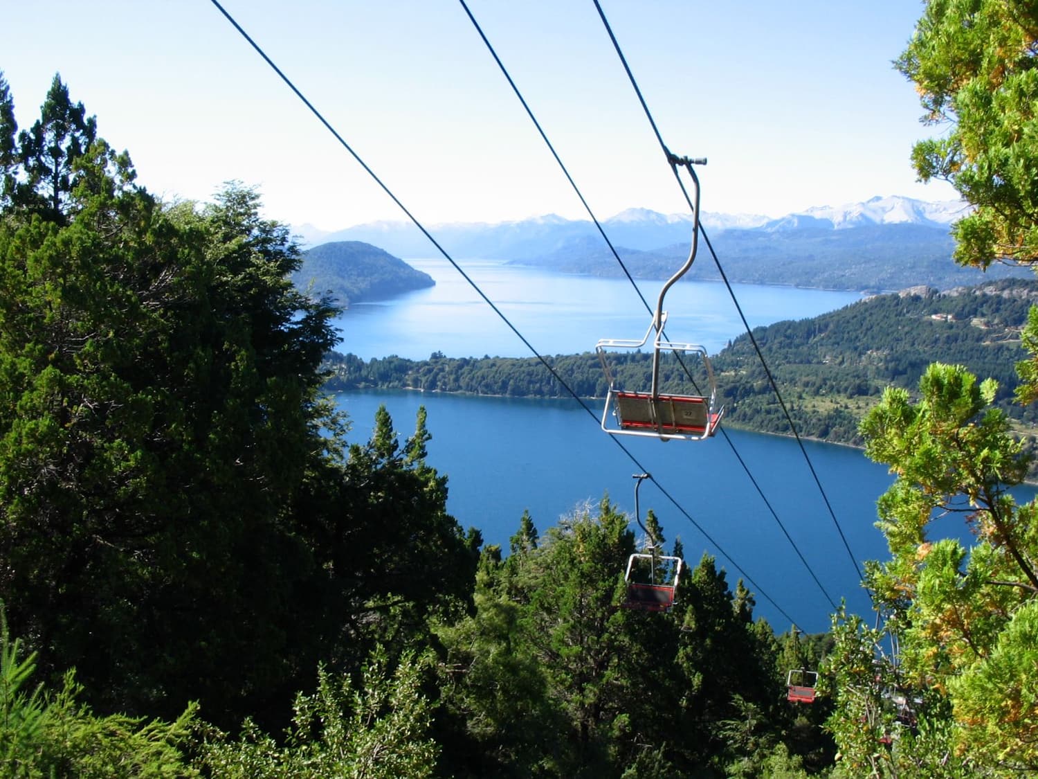
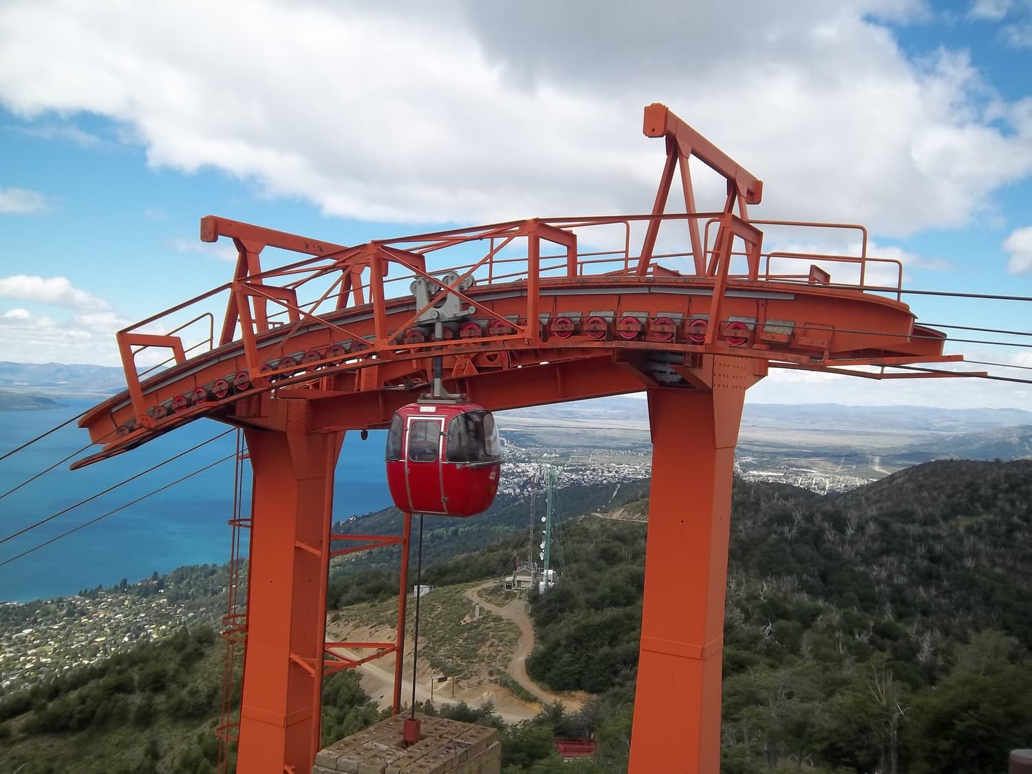
 Cerro Campanario
The most famous view in the park
A short chairlift ride — or a steep half-hour walk — to a 1,050 m summit with a 360° view over Lakes Nahuel Huapi and Moreno, the Llao Llao peninsula and the Andes. It is the view on half the postcards in Bariloche.
 Bariloche & the Circuito Chico
 Cerro Otto
The city’s own mountain
The wooded hill right behind Bariloche, topped by a revolving café and reached by a gondola from the edge of town. Great for a quick view of the city and the lake, walks through the forest, and snow play for kids in winter.
On the lake
 On the lake
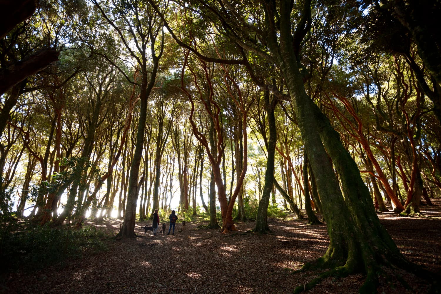
 Isla Victoria & Bosque de Arrayanes
The cinnamon forest by boat
The classic lake excursion: a boat from Puerto Pañuelo to the Bosque de Arrayanes, a grove of rare arrayán trees with cinnamon-coloured, cool-to-the-touch trunks at the tip of the Quetrihué peninsula, then Isla Victoria and its trails and beaches.
 On the lake
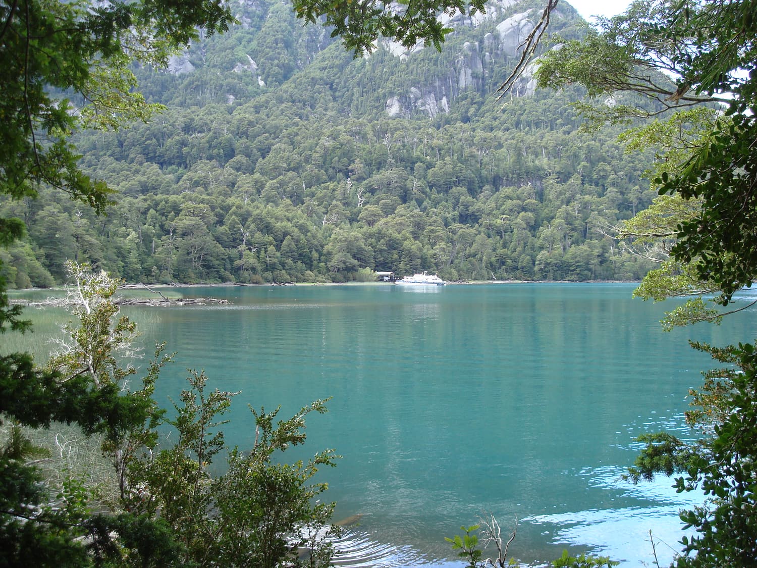
 Puerto Blest & Los Cántaros
Rainforest at the end of the lake
A full-day voyage up the fjord-like Brazo Blest into the wettest corner of the park, where Valdivian rainforest spills down to the water. Climb the stairs beside Los Cántaros waterfall, then continue to Lago Frías, fed by the glaciers of Tronador.
Mountains, glaciers & refugios
 Mountains, glaciers & refugios
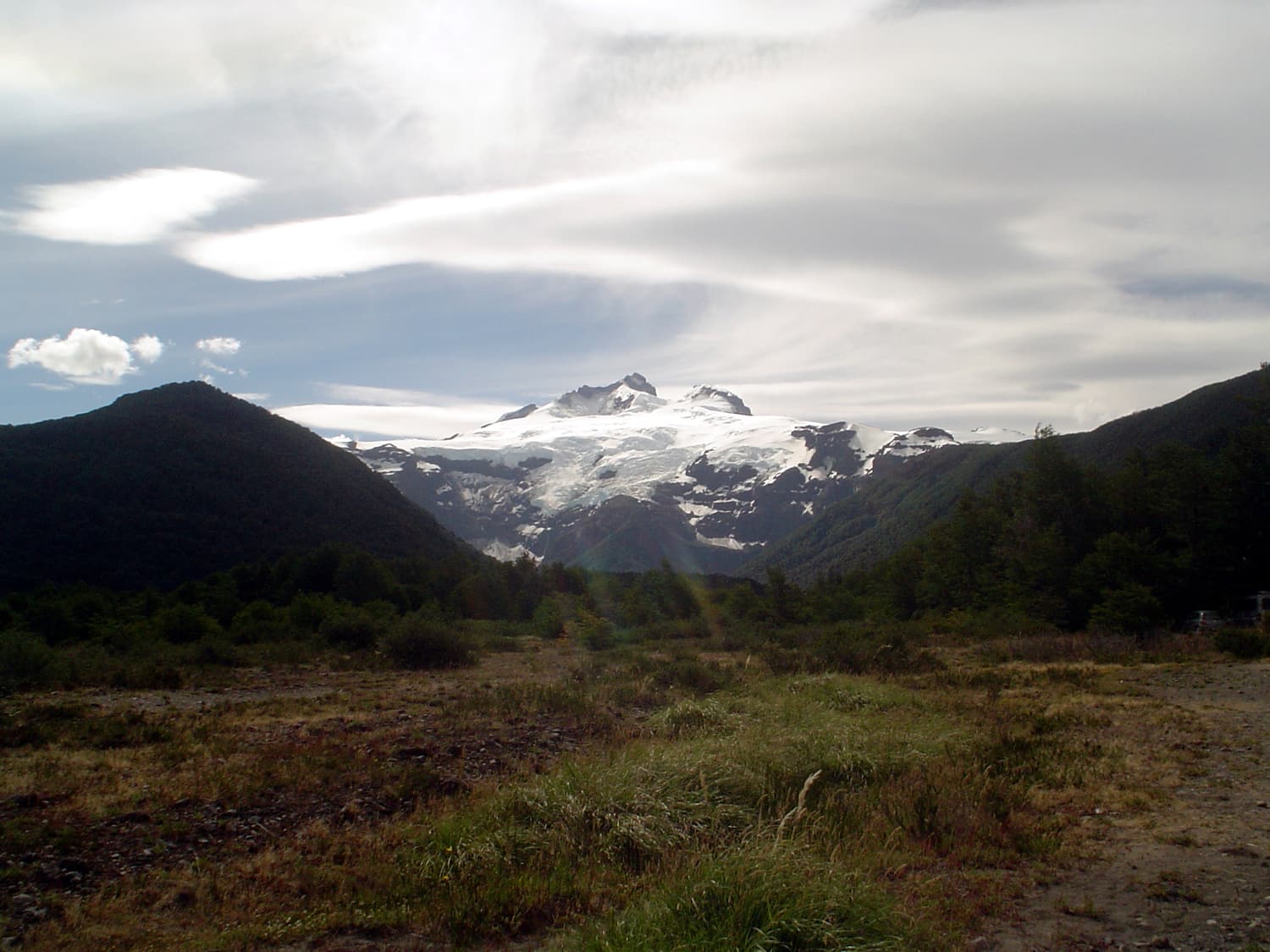
 Cerro Tronador
The thundering volcano
The park’s highest peak — an extinct volcano of roughly 3,470 m straddling the Chilean border, wrapped in glaciers that crack and roar. Drive to Pampa Linda to see the Ventisquero Negro, the Garganta del Diablo waterfalls and the hanging ice of the Manso glacier.
 Mountains, glaciers & refugios
 Cerro Catedral
South America’s great ski mountain
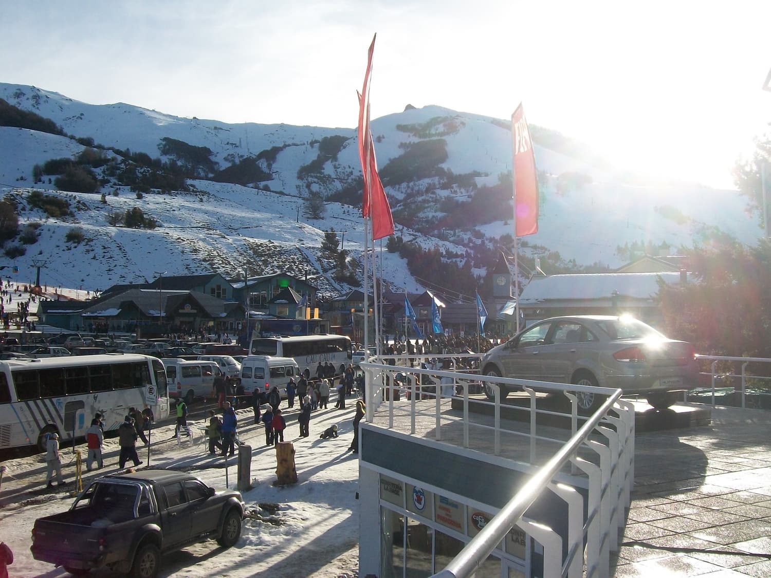
Named for its cathedral-like granite spires, Catedral is one of the largest ski areas in the Southern Hemisphere, 19 km from Bariloche. The season runs roughly mid-June to late September; in summer the lifts serve hikers heading for Refugio Frey and the ridge.
 Mountains, glaciers & refugios
 Refugios Frey & Jakob
Hut-to-hut hiking in the high country
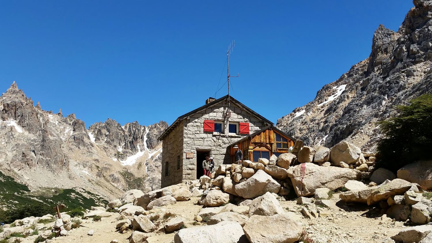
Nahuel Huapi’s network of mountain huts is one of the best trekking systems in South America. Refugio Frey sits beside a tarn under granite climbing spires; Refugio San Martín (Jakob) overlooks a glacial lake. Walk up for the day or link them over the ridges.
Road trips & the north shore
 Road trips & the north shore
 Villa La Angostura
The garden of the lake
An upmarket village of log chalets and flower gardens on the north shore, 80 km from Bariloche. Quieter and greener, with the land access to the Bosque de Arrayanes, the Cerro Bayo ski area and the start of the Seven Lakes Road.
 Road trips & the north shore
 Seven Lakes Road
Route 40 at its most beautiful
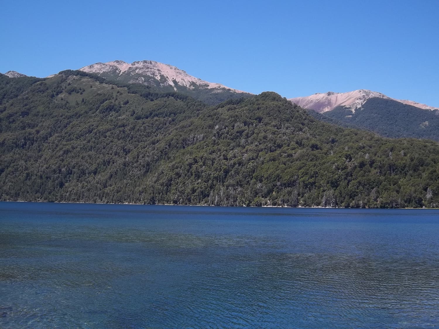
The Ruta de los Siete Lagos links Villa La Angostura with San Martín de los Andes through a chain of forest-ringed lakes — Correntoso, Espejo, Escondido, Villarino, Falkner, Hermoso and Machónico. Fully paved, and best driven slowly with a night at each end.
 Road trips & the north shore
 Cruce Andino
Across the Andes by lake to Chile
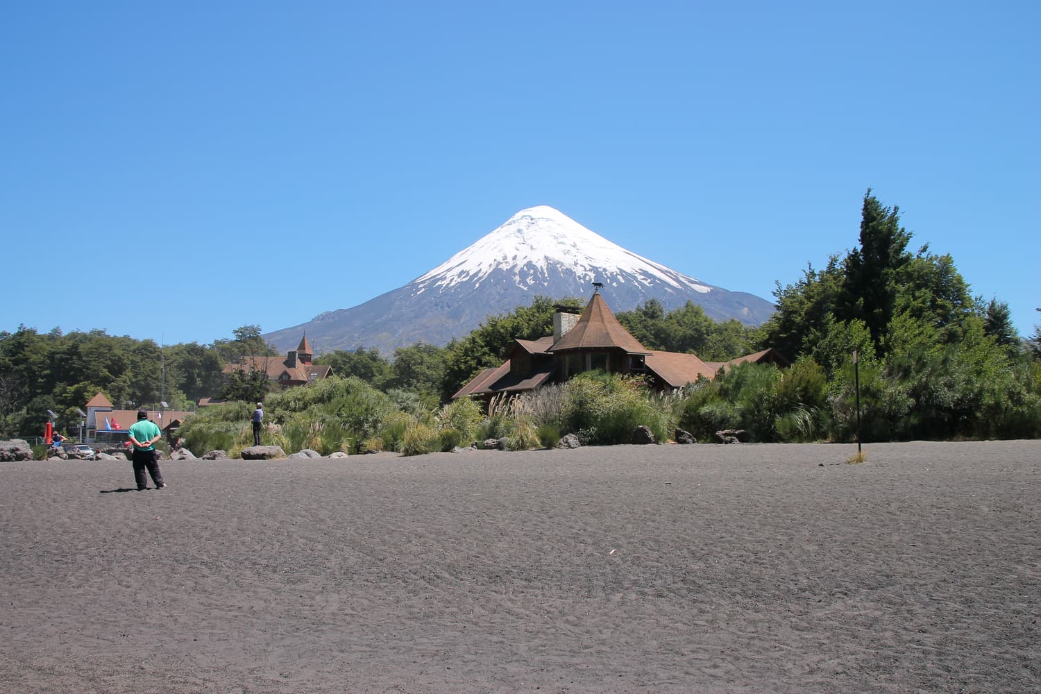
The historic lakes crossing between Bariloche and Puerto Varas in Chile: three lakes by boat and four road legs through rainforest and over the Pérez Rosales pass, beneath Tronador and Volcán Osorno. It takes a full day; you can also split it with a night in Peulla.
A sensible five-day plan: Day one, the Circuito Chico and Cerro Campanario. Day two, the boat to Isla Victoria and the arrayanes. Day three, Cerro Tronador. Day four, the Seven Lakes Road (or Puerto Blest). Day five, a hike to Refugio Frey in summer, or skiing at Catedral in winter — with chocolate and craft beer every evening.
Live availability
Book tours for this trip
Plan your days in the park
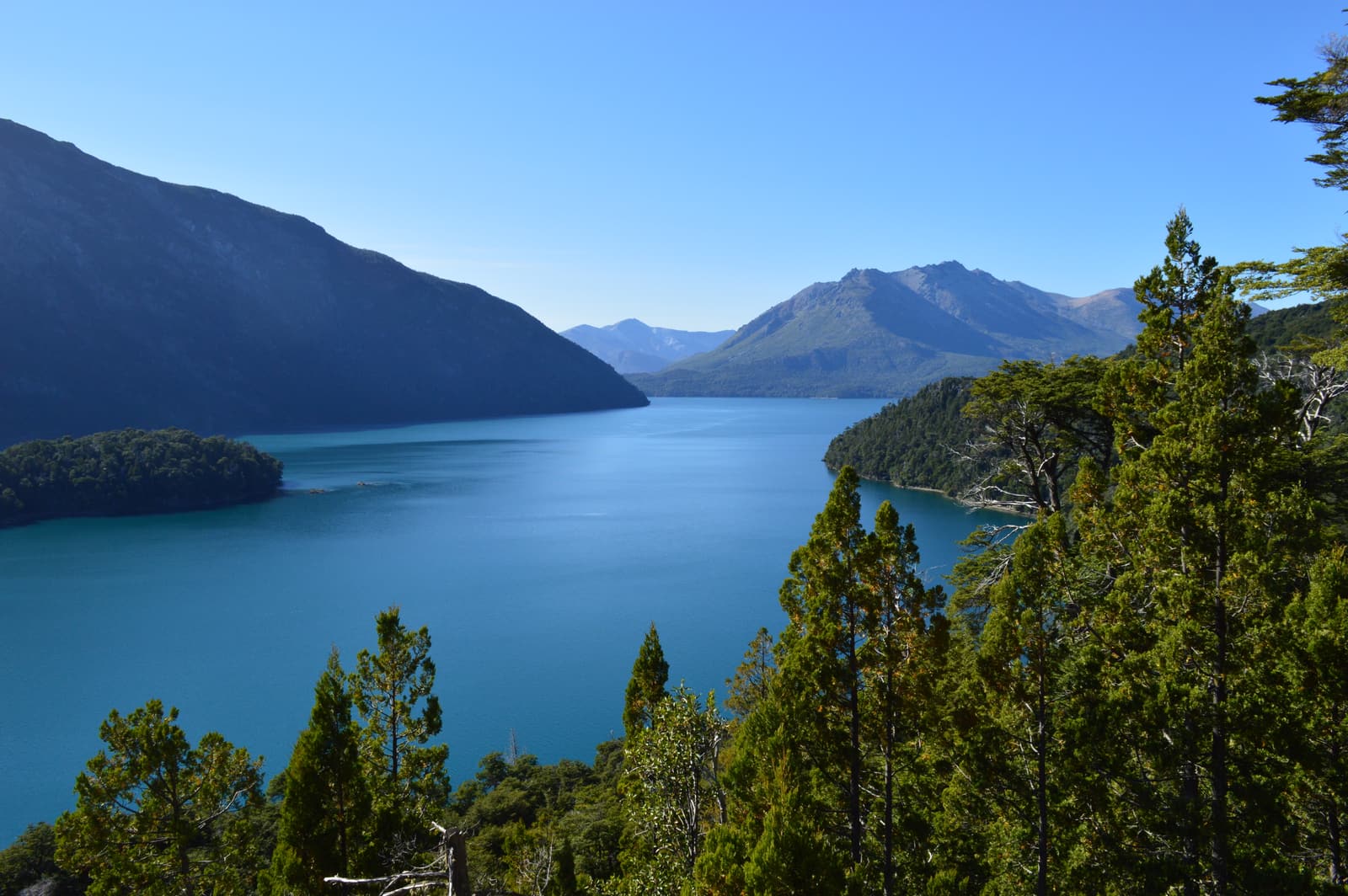
Make Nahuel Huapi the highlight of your Patagonia trip
Glacier-fed lakes, cinnamon forests, volcanoes and Andean passes — all within a day of Bariloche. Compare boat trips, day tours and adventures and book in a couple of taps.