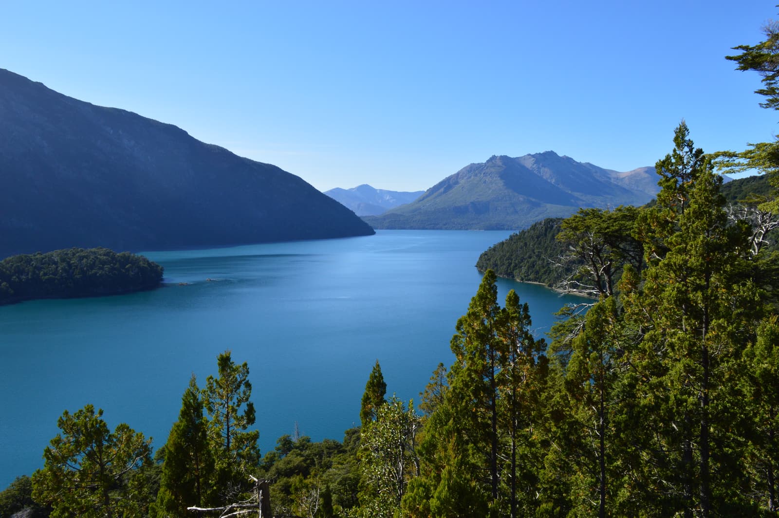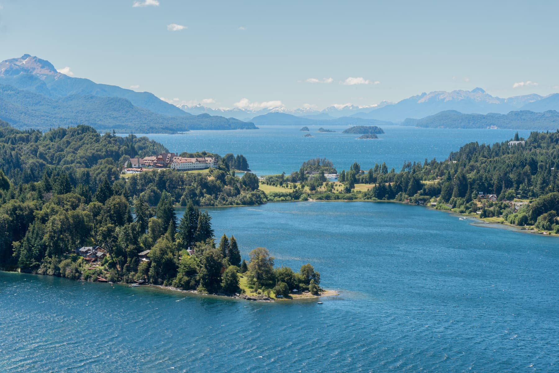
Nahuel Huapi — “island of the jaguar” in Mapudungun — is a national park, a lake and, for most visitors, a town: San Carlos de Bariloche. This guide covers how long to stay, how to divide your days, what to budget for and how to make the most of a landscape where the weather decides the plan.
The park at a glance
- Created: 1934, from the Parque Nacional del Sud founded on land donated by Perito Moreno — Argentina’s first national park.
- Size: around 7,000 km² across Río Negro and Neuquén provinces, bordering Chile.
- The lake: over 500 km² of glacier-carved water at about 770 m above sea level, and more than 400 m deep in places.
- Highest point: Cerro Tronador, roughly 3,470 m, on the Chilean border.
- Main towns: Bariloche on the south shore; Villa La Angostura on the north shore.
How long do you need?
- Two days — the Circuito Chico with Cerro Campanario, and a boat to the arrayanes. Rushed, but it shows you the essentials.
- Four days — add Cerro Tronador and either the Seven Lakes Road or Puerto Blest. The version we recommend for a first visit.
- A week — add Villa La Angostura, a hike to Refugio Frey and a lazy day of chocolate, beer and lakeside beaches.
- Ten days or more — hut-to-hut trekking, El Bolsón, San Martín de los Andes and the Cruce Andino to Chile.
What to see
 Bariloche & the Circuito Chico
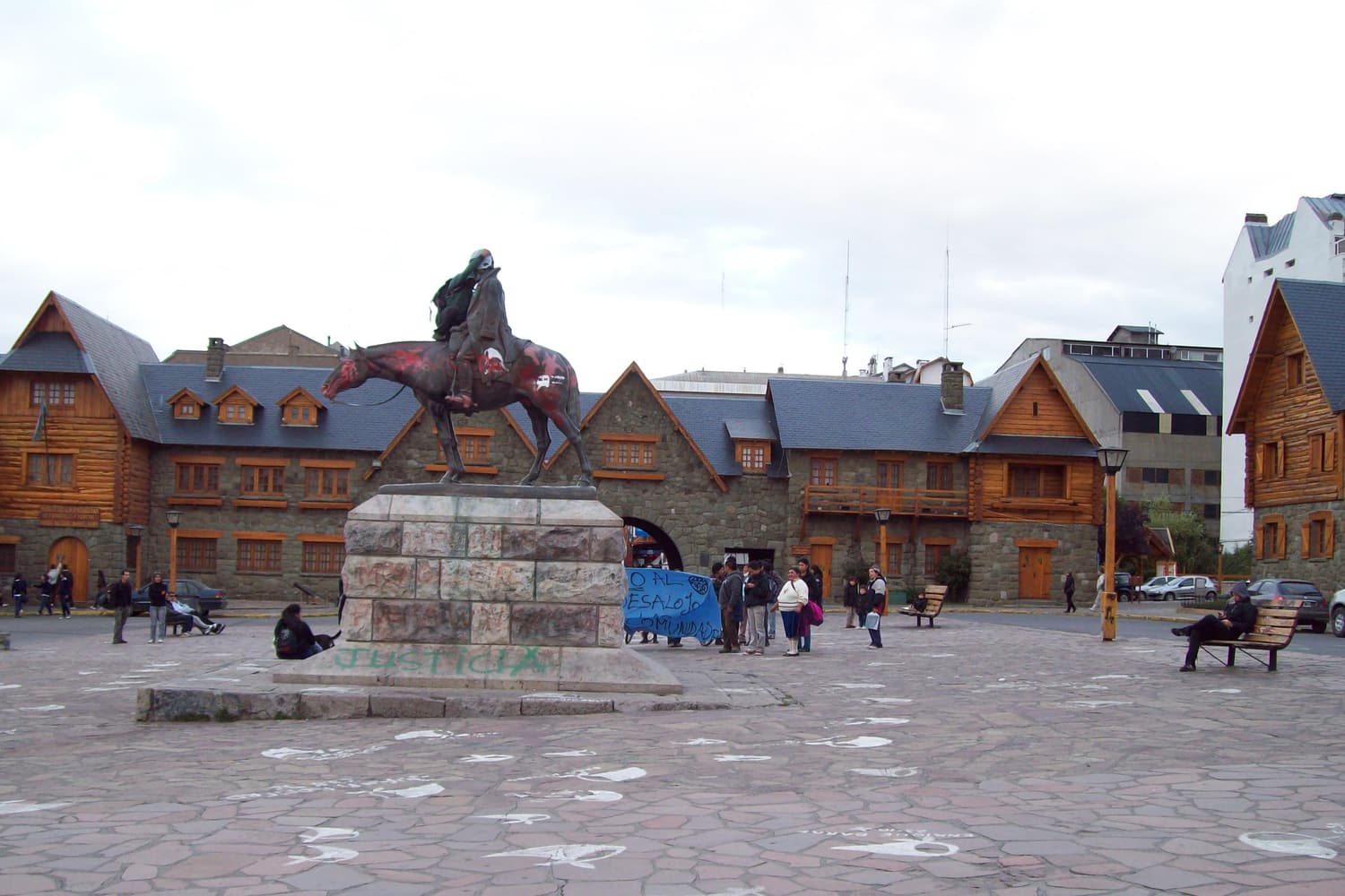
 San Carlos de Bariloche
The gateway town on the lake
The park’s base camp: a lakeside city of stone-and-timber chalets, chocolate shops and brewpubs on the south shore of Nahuel Huapi. Start at the Centro Cívico, walk Calle Mitre and the costanera, and use it as the hub for every boat trip and day tour.
 Bariloche & the Circuito Chico
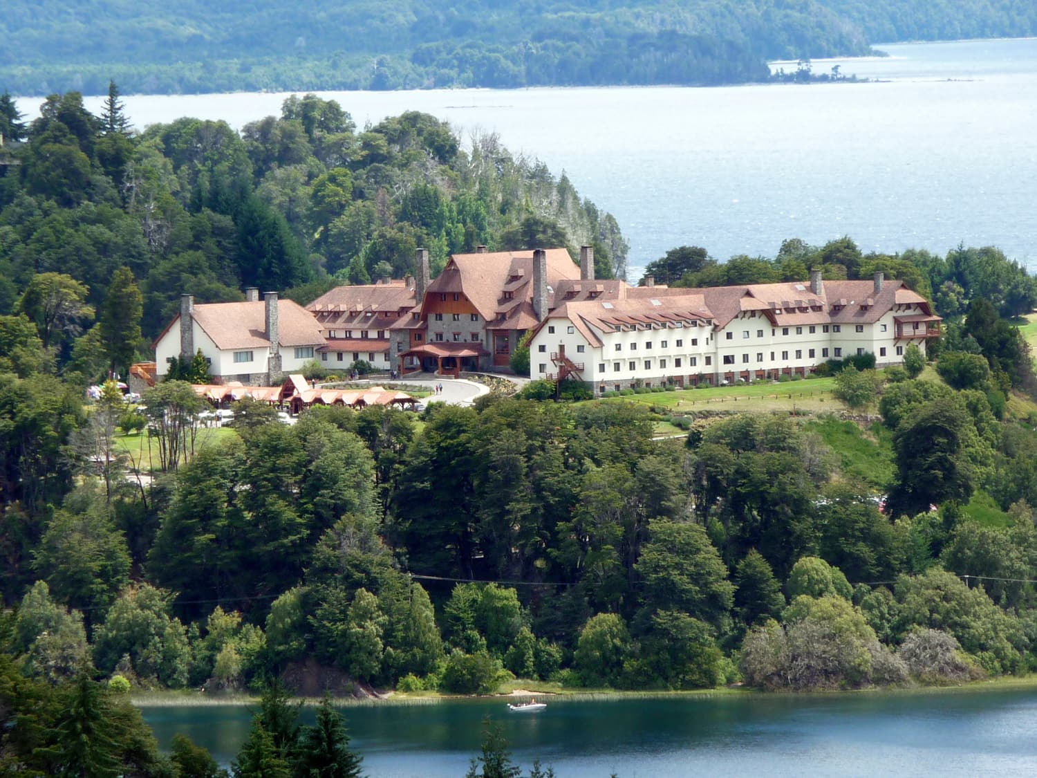
 Circuito Chico
The classic 60 km lake loop
The scenic loop west of Bariloche along Avenida Bustillo and around the Llao Llao peninsula — lakes, beaches, forest, the Punto Panorámico lookout and the grand Llao Llao Hotel. Drive it, bike it or join a half-day tour.
 Bariloche & the Circuito Chico
 Cerro Campanario
The most famous view in the park
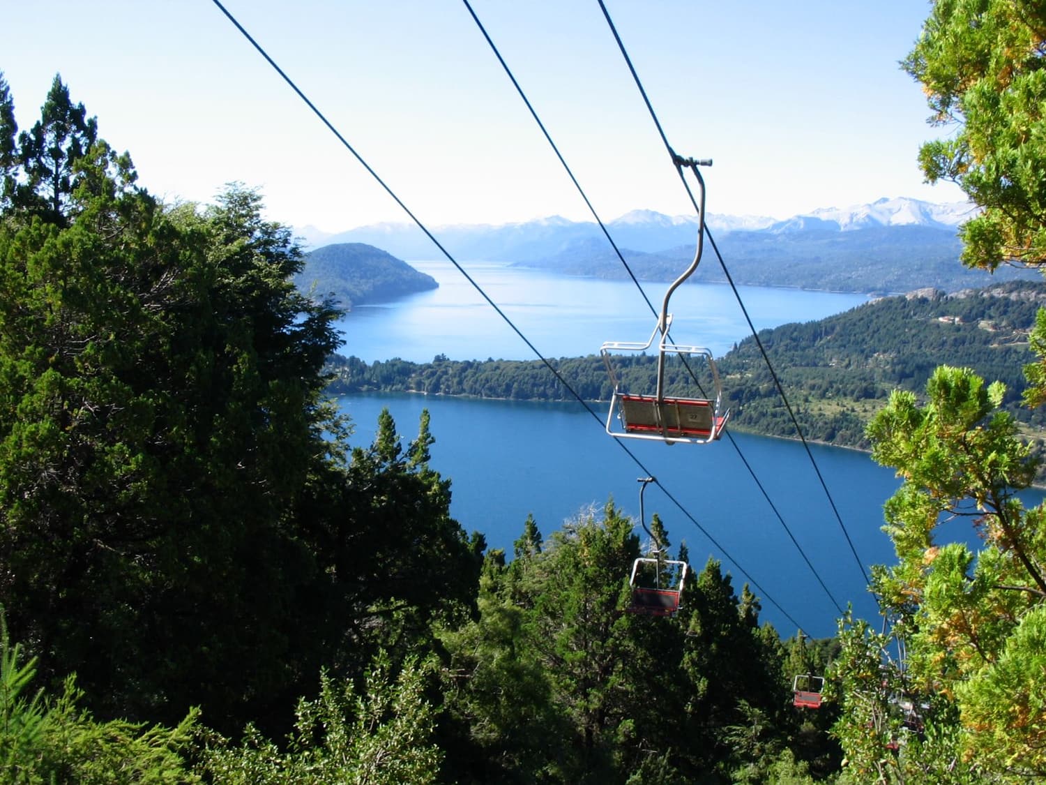
A short chairlift ride — or a steep half-hour walk — to a 1,050 m summit with a 360° view over Lakes Nahuel Huapi and Moreno, the Llao Llao peninsula and the Andes. It is the view on half the postcards in Bariloche.
 On the lake
 Isla Victoria & Bosque de Arrayanes
The cinnamon forest by boat
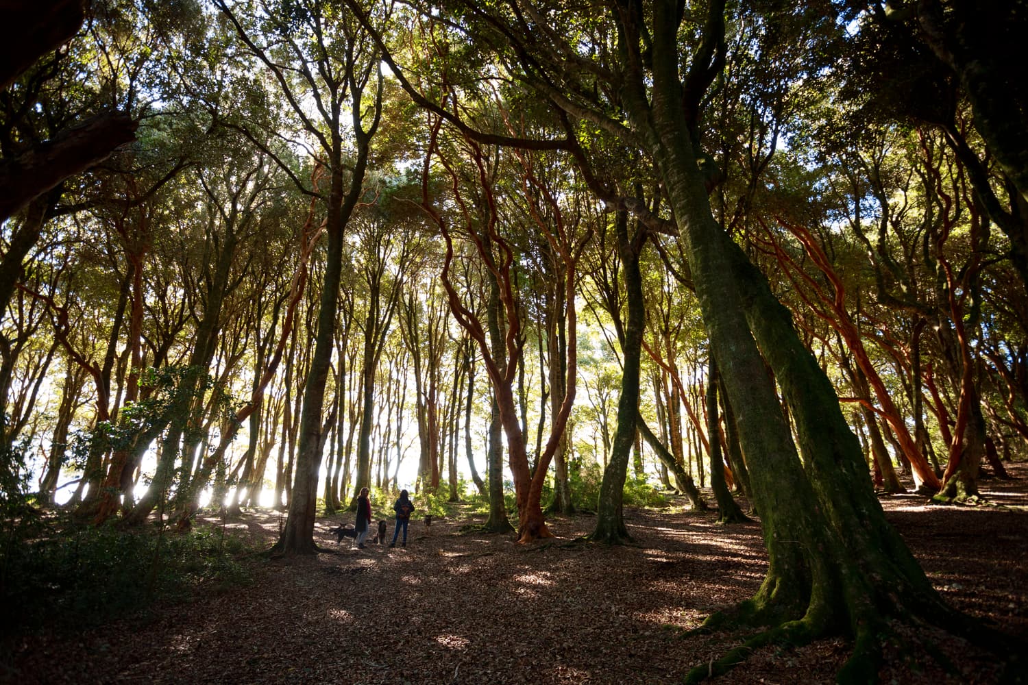
The classic lake excursion: a boat from Puerto Pañuelo to the Bosque de Arrayanes, a grove of rare arrayán trees with cinnamon-coloured, cool-to-the-touch trunks at the tip of the Quetrihué peninsula, then Isla Victoria and its trails and beaches.
See all of them, with directions and tours, in our things to see guide.
Park fees and rules
There is no single entrance gate. Instead, a national park fee is charged at specific access points — the boat excursions from Puerto Pañuelo, the road to Pampa Linda and Tronador, the Bosque de Arrayanes and a few other sites. Foreign visitors pay more than Argentine residents, and fees are revised regularly with inflation, so check the current rate on the Parques Nacionales website before you go. Hikers heading into the backcountry should register their route with the park, and campfires are prohibited outside designated areas.
Money
Argentina uses the peso (ARS). Prices move quickly with inflation and exchange-rate policy, so treat any figure you read online with caution. In recent years foreign credit and debit cards have been widely accepted in Bariloche at a reasonable exchange rate, while some small businesses, mountain huts and taxis still prefer cash. Carry a mix and check the current situation before you travel.
What to eat and drink
Bariloche’s food is a mix of Patagonian and Central European: cordero patagónico (whole lamb roasted on a cross over an open fire), lake trout, smoked meats and cheeses from Colonia Suiza, venison and wild-boar dishes, and desserts made with local berries. The city is also Argentina’s chocolate capital and one of its craft-beer capitals — Calle Mitre for the first, the road west towards Llao Llao for the second.
Where to stay
Your choice of base shapes the whole trip:
- Central Bariloche — walk to restaurants, shops and tour pickups; the most practical if you have no car.
- Avenida Bustillo and Llao Llao — lake views, forest and quiet, a short bus or taxi ride from town.
- Cerro Catedral — only if skiing is the point.
- Villa La Angostura — a calmer, greener village on the north shore with superb boutique lodges.
We compare the best of each, with live rates, on our where to stay page.
What to pack
- Layers, always: even in January mornings are cool and the wind is cold. A windproof and waterproof jacket is essential.
- Sun protection: the Patagonian sun is strong — sunglasses, sunscreen and a hat.
- Proper footwear: trail shoes for Campanario and the forest walks, boots for the refugios.
- A day pack and water bottle for boat trips and long tours.
- Passport if you plan to cross into Chile.
Safety
Bariloche is generally a safe, welcoming city for visitors. The main risks are natural: sudden weather changes in the mountains, cold lake water, strong winds on the water and loose rock on high trails. Register hikes, tell someone your plans, turn back if the weather turns, and never leave valuables visible in cars at trailheads.
Common mistakes
- Trying to see the park in two days. The distances are bigger than they look on the map.
- Booking every day in advance with no weather flexibility.
- Forgetting the park fee — it is usually not included in tour prices.
- Coming in July without booking. The winter holidays are the busiest weeks of the year.
- Skipping the water. The lake is the heart of the park — see the tour comparison for the best boat trips.